February 3rd, 2014
Video Capture Technology in Practical Use
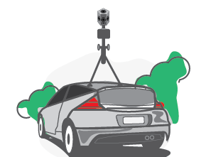
GIS Analyst Derek Robinson explains how Segue uses 360° degree video capture technology from Point Grey Research to help the USMC.

GIS Analyst Derek Robinson explains how Segue uses 360° degree video capture technology from Point Grey Research to help the USMC.

Add traffic and weather layers and driving directions to your Mapping functionality quickly using the google mapping javaScript API.